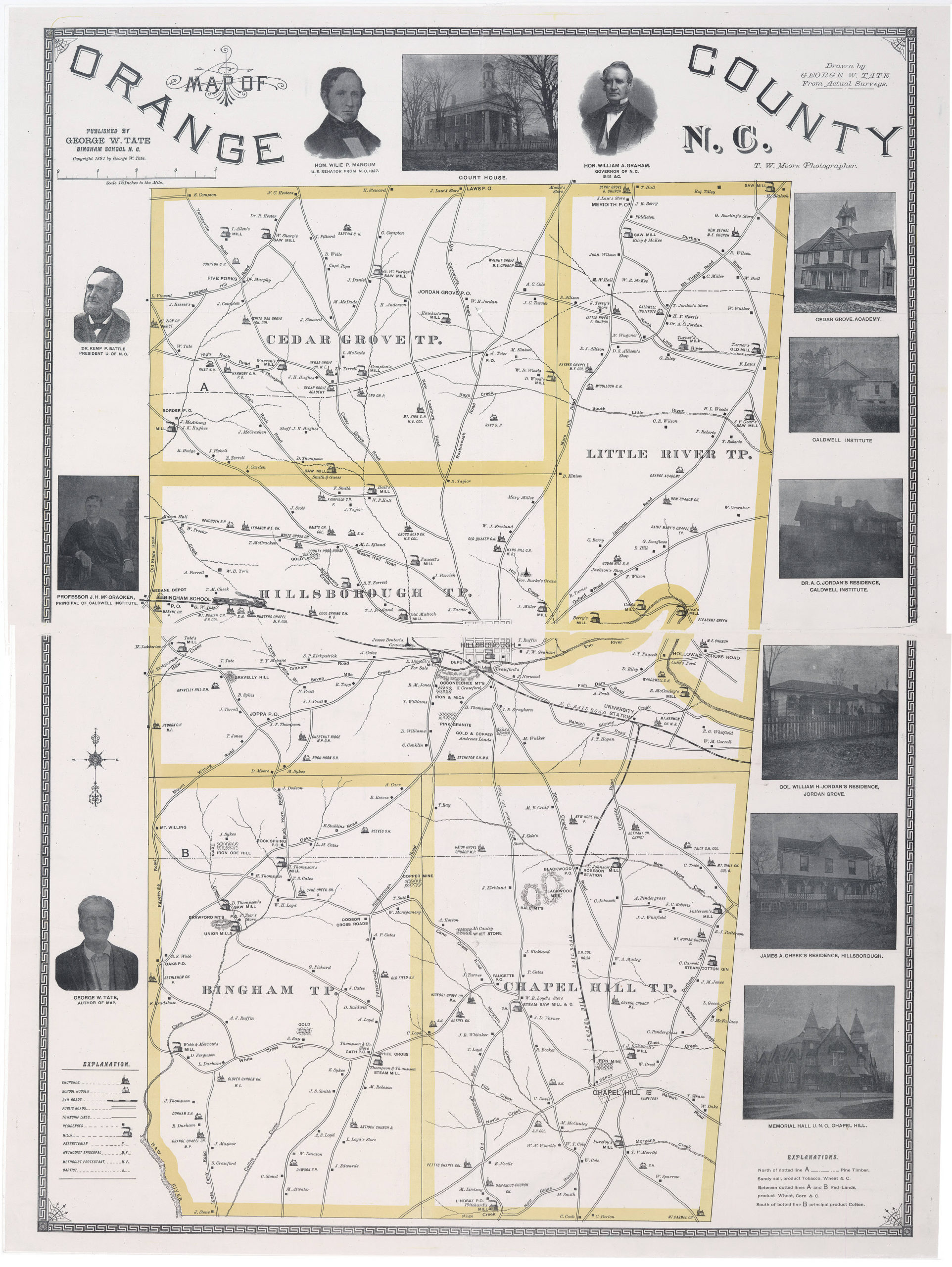
This is a map of northern Orange County circa 1891, published in 1940. It shows several Berry family landmarks, including John Robert Berry’s homestead, the Fiddleton Plantation, Berry’s Grove Church, and the Meridith Post Office, which was located inside John Robert Berry’s General Store (now located across the road from its original location).
Why is this map with the name Fiddleton important? Robert Berry acquired his plantation in Orange County, North Carolina, in 1751 and apparently named it Fiddleton. There is a Fittleton in Wiltshire, England, 89.8 miles west of London. This is a strong indication that Robert Berry’s ancestors probably lived there.
Original Source Information#
Repository: North Carolina Collection Title: Map of Orange County N.C. Date Published: circa 1940 Date Depicted: 1891 Creator: George W. Tate; T. W. Moore (Theophilus Wilson), photographer Place of Publication: Bingham School, N.C. Publisher: George W. Tate
Caption: “Published by George W. Tate, Bingham School N.C. Copyright 1891 by George W. Tate. Drawn by George W. Tate From Actual Surveys. T.W. Moore Photographer.”
The map shows towns, roads, railroads, residences, schools, churches, mills, mines, natural features, and railroads including the North Carolina Rail Road and Chapel Hill Railroad. Includes photographic portraits of George W. Tate, Professor J.H. McCracken (Principal of Caldwell Institute), Dr. Kemp P. Battle (President of U.N.C.), Hon. Willie P. Mangum (U.S. Senator from N.C. 1887), and Hon. William A. Graham (Governor of N.C. 1845). Townships shown include Cedar Grove, Hillsborough, Bingham, Chapel Hill, and Little River.
OCLC: 52689788 Scale: 1:42,240 Size: 115 x 84 cm Call Number: Cm912.68 1891t1 Original Source: UNC Digital Collections
This item is presented courtesy of the North Carolina Collection at the University of North Carolina at Chapel Hill for research and educational purposes.
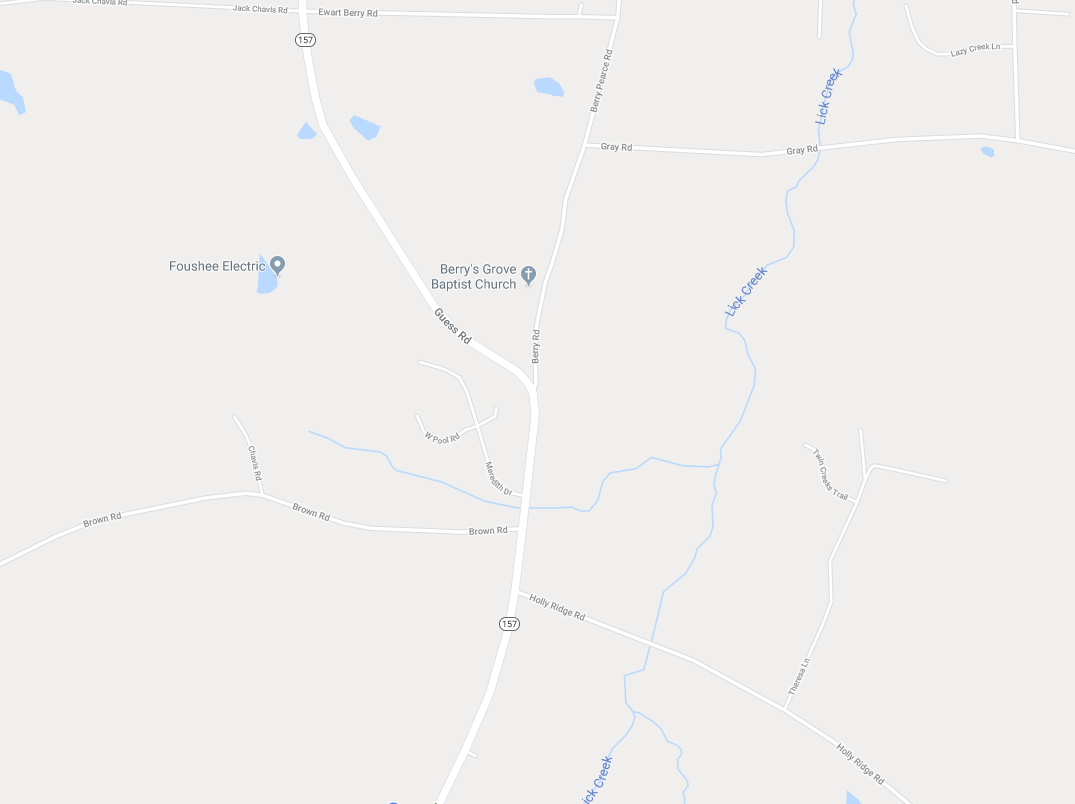
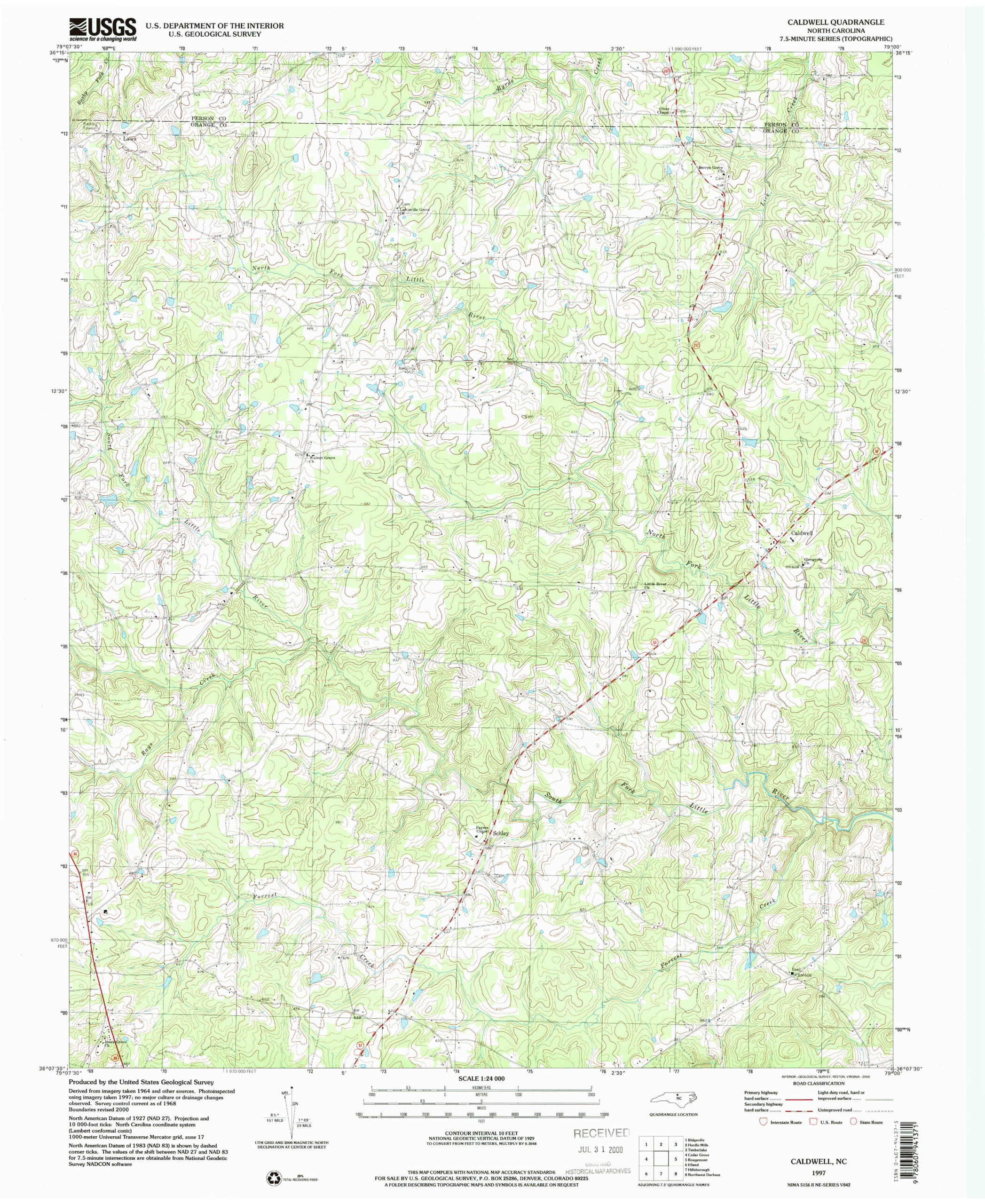
Modern Maps of Berry’s Grove#
Last Updated 2020-02-10 — William H.